
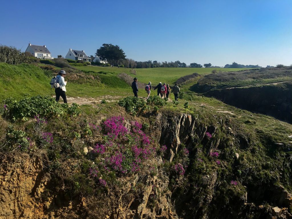
Brittany’s unspoilt beauty is best experienced on foot. Whether it’s the fantastic rock formations on the Côte de Granit Rose, the breathtaking cliffs at the Pointe du Raz or the legendary forests in the green heart of Brittany – nature in the north-west of France offers numerous exceptional spectacles as hiking destinations.
The special thing about Brittany for hiking enthusiasts is the great hiking route directly by the sea. The GR-34 hiking trail, which runs once along the coast of Brittany, is considered one of the most popular in all of France and one of the most beautiful in all of Europe. Over 1,700 kilometres, the GR-34 leads from Mont Saint-Michel to Saint-Nazaire near Nantes.
Very few hikers will take on the enormous challenge of walking around Brittany on the entire GR-34. For a relaxed holiday, it is advisable to pick out the sultanas of the hiking trail. This way you will get to know Brittany at its best!
Recommendations For Walks In Brittany
For families with children, occasional hikers and experienced hikers – Brittany offers excellent hiking routes for every level. We present a selection of the most beautiful sections of the GR-34 and hikes through the interior of Brittany here.
Pointe du Raz and Cap Sizun
Cap Sizun, in the far west of Brittany, is lapped by the wild waves of the Atlantic. Hiking on the cliffs of the steep coast is a highlight at any time of year. The best routes on the Cap, including tips on tours to the Pointe du Raz, can be found on the Cap Sizun hiking page.
Côte de Granit Rose
One of Brittany’s most famous sights is the Côte de Granit Rose. Explore the colourful rocks of the north coast between Trébeurden and Paimpol on a hiking tour. Don’t forget to pack your camera! Our article on hiking on the Côte de Granit Rose describes various routes, including sections of the “customs officers’ path”.
Locmariaquer
One of the most beautiful hiking routes on the Gulf of Morbihan is the route in and around Locmariaquer. Starting from the car park in the centre of the village, this walk takes in the coastline of the Gulf as well as dolmens and menhirs. The highlight is the megalithic site of Locmariaquer with the famous “Table des Marchands”.
Carantec
The hiker will experience four of the most beautiful beaches in Finistère on the tour along the coast of tranquil Carantec. An optional detour to Île Calot can be planned. However, this can only be done if the tides allow it, as the island is only accessible at low tide.
Quiberon Peninsula
The hiking trail along the Côte Sauvage, the “wild coast” of Quiberon, is about 7 kilometres long. Walking south, you pass the impressive Pointe du Percho with the mighty rock gate Arche du Port Blanc. Other highlights are the dolmens and the ruins of a Roman settlement.
Pont-Aven
In the footsteps of Gauguin, a popular hiking route leads from the Eglise Saint Amet church in Nizon to the Chapelle de Trémalo on the outskirts of Pont-Aven. In both churches, the painter found inspiration for paintings, the “Green Christ” and the “Yellow Christ” respectively. Walking (approx. 3 hours) through the Bois d’Amour, you can understand Gauguin’s and other painters’ fascination with the area.
Huelgoat
Away from the sea coast, Huelgoat lies in the centre of Finistère. A quiet lake, a mill by a stream, huge moss-covered stones – the perfect setting for fairytales. Discover ancient and modern legends on the shorter and longer hiking routes through the forest of Huelgoat.
What To Bear In Mind When Hiking
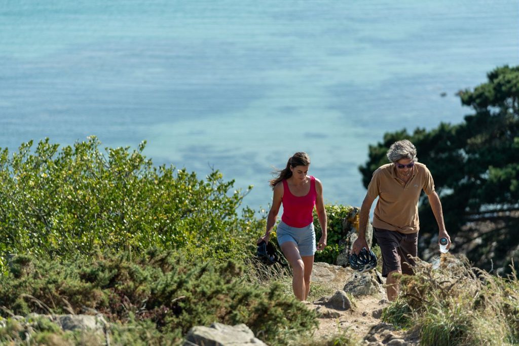
In Brittany, the conditions for hiking are generally good. This starts with the weather. It’s never too cold and rarely too hot for a hike. Only a particularly violent winter storm can prevent even the most hardy from going on a hiking tour.
Otherwise, the mild climate of the Atlantic creates stable conditions for hiking. However, hikers should always be prepared for moisture from above, especially by the sea. On the coast, even fine weather can suddenly turn and a shower suddenly falls – even in summer. But just as quickly as the clouds appear, they can also disappear again. As a rule of thumb, the further north in Brittany the hiking route is, the more likely it is to rain. When hiking in Finistère, you are even less likely to forget your raincoats than when hiking in Morbihan.
When hiking in Brittany, you don’t have to climb thousands of metres in altitude. At around 330 metres, the Ménez-Hom in the Monts d’Arrée is the highest mountain in northwest France. Apart from this “mountainous” region, the profiles are rather flat. On the GR-34, gradients of 50 metres are already an exception.
All hiking trails are well signposted. Follow the red and white markings to explore the GR-34. Yellow markings indicate smaller hiking trails off the main path. For orientation, special apps (e.g. “Visorando”) or conventional hiking maps are also recommended. In addition to professional hiking maps, free hiking maps of the respective area are available in many local tourist offices.
Image: Comité Régional du Tourisme de Bretagne | © Donatienne Guillaudeau